This story has been update with new information.
On Sunday morning, the National Weather Service increased the snow expectations for the Lower Shore. Here’s the latest on that and how Maryland is preparing.
National Weather Service calls for potentially heavy snow
The National Weather Service’s Wakefield, Va., office has issued a winter weather warning in effect from 4 p.m. Sunday, Jan. 5, through Tuesday, Jan 7.
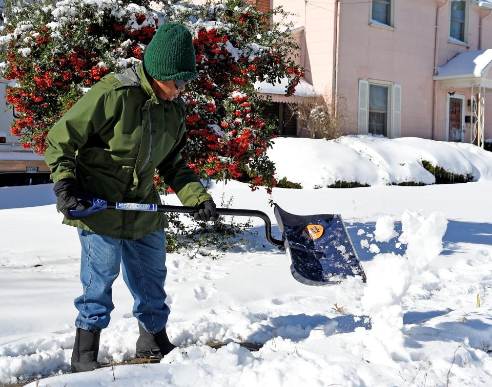
After the snowfall a woman works to clear the snow from the sidewalk in front of her home Tuesday, Jan. 4, 2022, in Salisbury, Maryland.
The warning predicts “heavy mixed precipitation expected,” with total snow accumulations between 5 and 9 inches for Somerset, Wicomico and Worcester counties. Also expect ice accumulation and winds gusting up to 35 mph.
Maryland Gov. Moore declares ‘State of Preparedness’
Maryland Gov. Wes Moore on Saturday declared a State of Preparedness in advance of the elevated winter storm threat to Maryland from Sunday, Jan. 5 through Monday, Jan. 6. The storm will likely affect roads and transportation centers and could cause significant snow accumulation in some parts of the state. Marylanders are cautioned to avoid travel if possible, to follow local forecasts, and to stay prepared for winter storm hazards.
A State of Preparedness enhances the state’s ability to respond swiftly and effectively to potential hazards and threats before they escalate and provides an easy path for information sharing and coordination. State agencies and departments including emergency management, transportation, law enforcement and public health are coordinating to prepare for the storm.
Frigid temperatures for Salisbury, Ocean City area
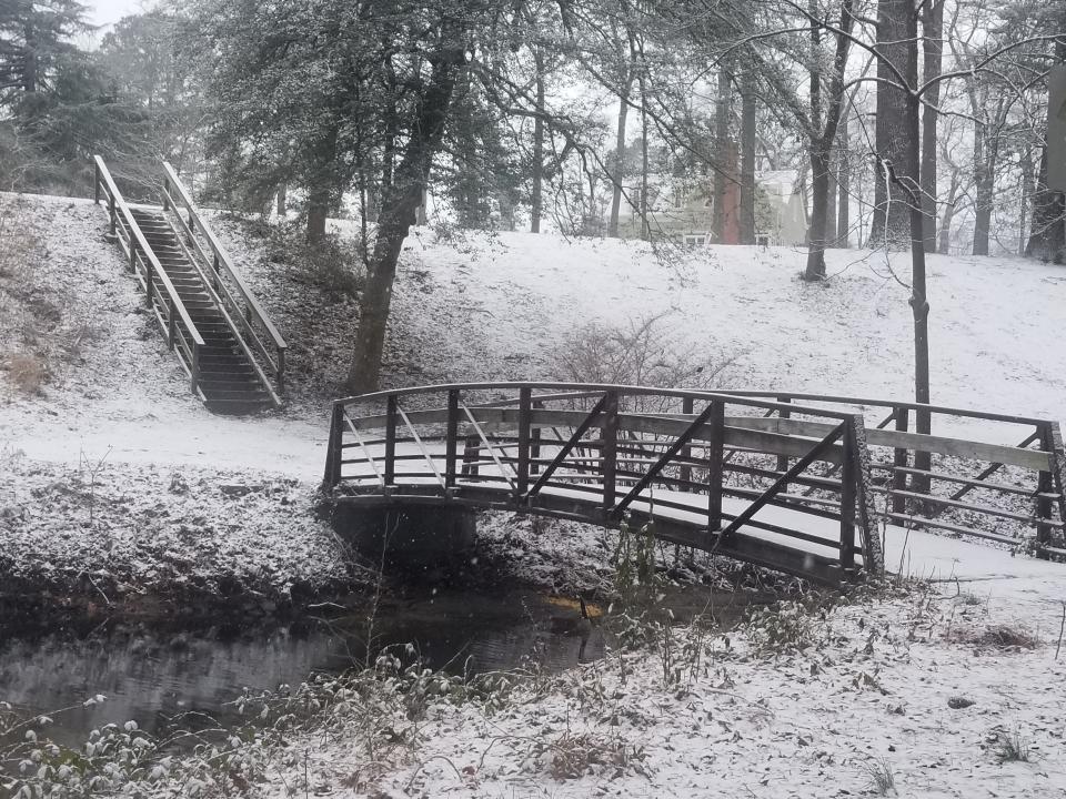
Snow stars to blanket the Salisbury City Park as it intensifies from flurries to serious snowfall late Monday morning.
Here’s an updated look at other aspects of the forecast, courtesy of Accuweather.
Sunday’s Accuweather forecast calls for a high of 36 degrees and a low of 26 in Salisbury, and a high of 35 and low of 26 in Ocean City.
Snow is predicted for both areas in the window of 1 a.m. to 1 p.m. Monday.
Monday’s forecast calls for an overall nasty weather day, with “periods of snow, sleet and freezing rain” making surfaces and roadways slippery. Expect a high of 34 degrees in Salisbury and low of just 17, and a high of 36 and low of 19 in Ocean City.
Downtown Salisbury getting new boutique: Get a look inside Be Salty Boutique, opening soon in downtown Salisbury
AAA offers tips for safe driving in snowy conditions
AAA Mid-Atlantic offers the following tips for driving in snowy and icy conditions:
-
Stay home. If you really don’t have to go out, don’t. Even if you can drive well in winter conditions, not everyone else can. Don’t tempt fate.
-
Check road and weather conditions. Before you leave, assess the conditions of roads along your route. A good source for this is the Maryland Department of Transportation’s ChartWeb or Maryland 511 or Virginia Department of Transportation’s 511 site, 511.vdot.virginia.gov/. Both sites provide travelers with reliable, current traffic information and weather-related traffic conditions. Also consider loading a good weather app with live radar functionality to keep updated on storm track.
-
Drive slowly. Everything takes longer on ice- and snow-covered roads. Accelerating, stopping and turning – give yourself time to maneuver by driving slowly.
-
Accelerate and decelerate slowly. Apply the gas slowly to regain traction and avoid skids. Don’t try to get moving in a hurry and take time to slow down well in advance for a stoplight. Remember: It takes longer to slow down on icy roads.
-
Manage a skid. If you lose traction and begin to spin or skid on snow or ice, don’t slam on the brakes. Steer in the direction you want the front of the vehicle to go, until your tires regain traction.
-
Increase your following distance to eight to ten seconds. This increased margin of safety will provide the longer distance needed if you have to stop.
-
Know your brakes. Whether you have antilock brakes or not, keep the heel of your foot on the floor and use the ball of your foot to apply firm, steady pressure on the brake pedal.
-
Don’t stop if you can avoid it. There’s a big difference in the amount of inertia it takes to start moving from a full stop versus how much it takes to get moving while still rolling. If you can slow down enough to keep rolling until a traffic light changes, do it.
-
Don’t power up hills. Applying extra gas on snow-covered roads just starts your wheels spinning. Try to get a little inertia going before you reach the hill and let that inertia carry you to the top. As you reach the crest of the hill, reduce your speed and proceed downhill slowly.
-
Don’t stop going up a hill. There’s nothing worse than trying to get moving up a hill on an icy road. Get some inertia going on a flat roadway before you take on the hill.
Editor’s Note: Please send notices about weather-related cancellations and postponements to newshub@delmarvanow.com.
OC’s Surfin’ Betty’s expanding to Del.: Ocean City’s Surfin’ Betty’s Burger Bar is expanding into Delaware: What we know now.
This article originally appeared on Salisbury Daily Times: UPDATE: NWS increases snow expectation for Salisbury, Ocean City area.